As mountain walks go this one, along the western shelf of the mountain mass above the Lauterbrunnen valley, is as easy as it gets. A good, wide path with no overly steep stretches enables you to complete its 4 km distance in about 1hour 15mins. Its ease coupled with the fantastic views make it the perfect introduction to high level walking in the Jungfrau region.
You reach Grütschalp (1486m) by taking the cable car from behind Lauterbrunnen railway station (Swiss Pass is valid). At peak times it can be crowded, but don’t be dismayed – most will transfer to the small train bound for Mürren and the Schilthornbahn.
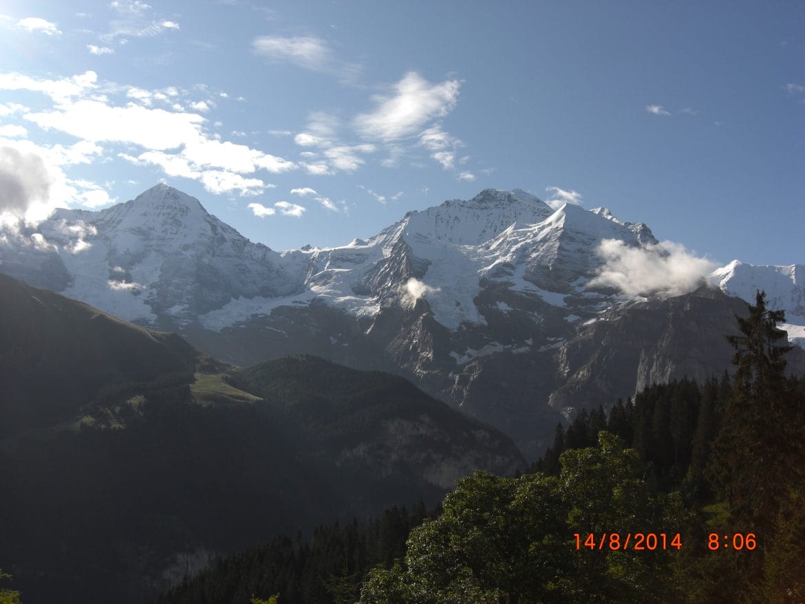
 At the end of the railway platform at Grütschalp a stunning panorama unfolds. On the other side of the valley peak piles upon peak, and all can be identified with the aid of a close at hand diagram. Above Wengen is the Männlichen and its neighbour the Lauberhorn. Then come the three great mountains – the Eiger, Mönch and Jungfrau. Less prominent are the Silberhorn, the Ebnefluh and Mittaghorn. Later, as your walk progresses the scene gradually shifts, the angles change and other peaks including the Grosshorn, together with that triangular perfection of symmetry, the Breithorn and finally the Gspaltenhorn come into view.
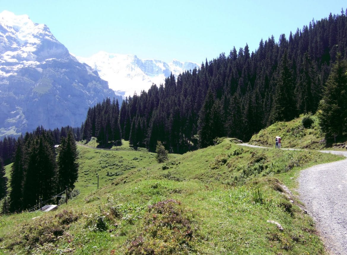
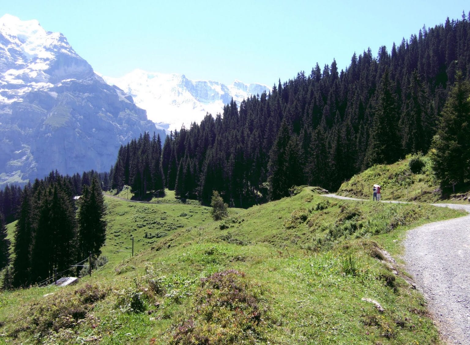
But I am getting ahead of myself. After crossing the railway line at Grütschalp you head uphill into woodland. This is probably the steepest part of the walk. The route is well sign posted and follows the direction of the single-track railway. Very soon you hit open, flower rich pasture, where the views are unobstructed. After 30 minutes you reach the Winteregg railway stop. The nearby restaurant has a terrace with idyllic views – a perfect place for a peaceful drink. Peaceful that is apart from sunny Sundays when a seemingly endless brunch is a very popular family attraction.
Further on, a couple of the streams that drain the mountain come tumbling down its slopes, then are channelled under the path before disappearing into woodland and finally leaping off the cliff to swell the surging waters of the Weisse Lütschine. Far below, in the Lauterbrunnen valley, walkers will be admiring their spectacular fall.
 The path now moves close to the railway track and Mürren (1638m) beckons. This smallish, very pleasant, traffic free village, with the usual variety of shops and choice of restaurants, is the highest in the Bernese Oberland.
If the day is clear and sunny you could seize the opportunity to travel higher up the mountain – and I’m not suggesting the Schilthornbahn. Towards the far end of the village there is a small funicular up to Allmendhubel (1912m), and an inexpensive, 4 minute ride takes you almost 300m further up the mountain. Here, from the comfort of a bench on a grassy terrace, you can marvel at the enhanced majesty of the mountains that increased elevation brings. There is a restaurant and a well equipped children’s play area. A short walk leads you past small beds of labelled alpine plants. You might notice a sign pointing to Grütschalp but this path, although not unduly difficult, is uneven and steep in places, particularly the final descent. It is quite well sign posted but as there are alternatives a map is advised. The path from Allmendhubel back to Mürren is also steep in places. Boots with soles that grip are a must for both of these walks.


